Who this supports
- Homeowners and landlords
- Letting agents and property managers
- Roofers and maintenance contractors
- Surveyors and building professionals
- Commercial property and facilities teams
 DRONE PERSPECTIVE LTDAERIAL INTELLIGENCE SYSTEMSStart a project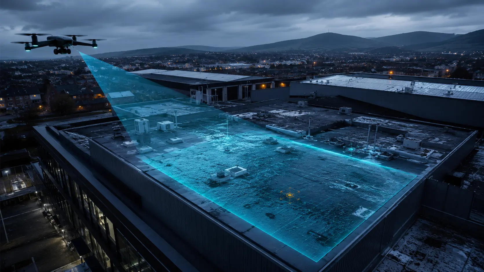
High-resolution aerial inspection support for roofs, elevations and difficult-to-access property areas—delivered as clear visual evidence, not a folder of unexplained images.
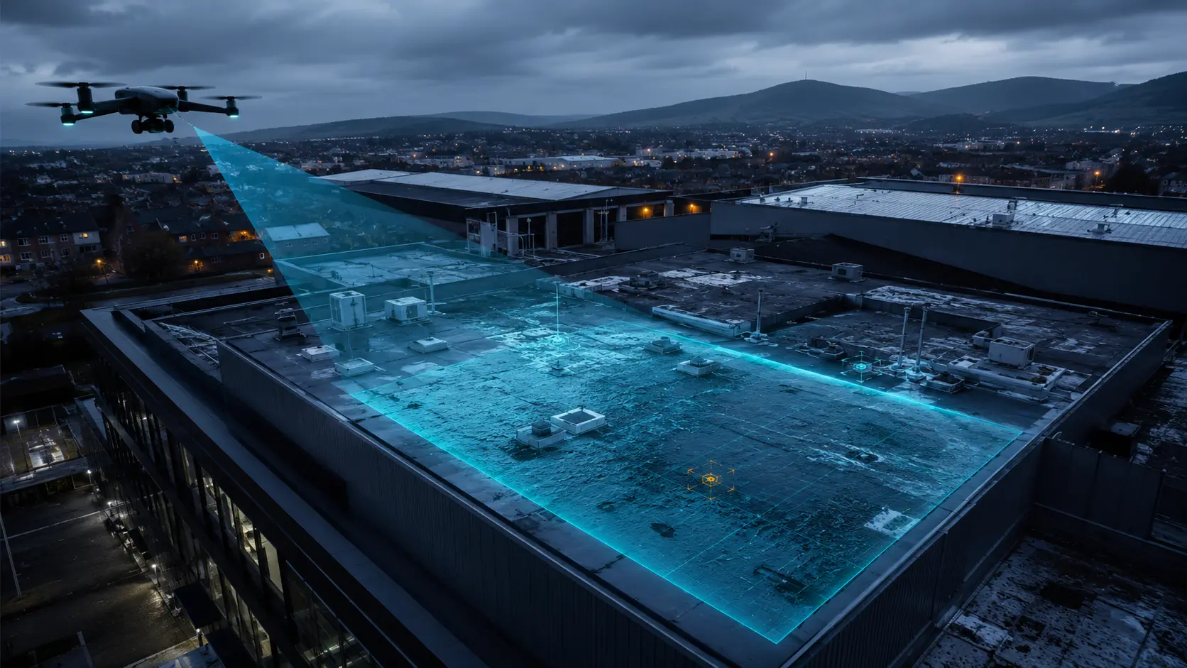
Roofs and upper elevations are difficult to assess safely from ground level. Scaffolding, mobile platforms and intrusive access may be disproportionate when the first requirement is simply to understand visible condition and identify where closer specialist attention is justified.
Drone Perspective plans a targeted aerial inspection around the questions you need answered. We capture site context, systematic roof coverage and detailed close-ups, then organise the evidence so property owners and professionals can review it quickly.
View all servicesProfessional delivery is a chain. Each stage protects the quality, traceability and usefulness of the final evidence.
We agree the asset, location, decision required and the exact outputs you need.
We review airspace, permissions, people, property, weather, access and site-specific risk.
AeroPlan IQ structures the operational checks, evidence and Remote Pilot decision trail.
The flight follows a controlled shot plan, with repeatable viewpoints where comparison matters.
Imagery is reviewed, organised and checked against the agreed brief before release.
You receive clearly named, decision-ready files and reporting, normally within 24 hours where operationally possible.
This service provides visual inspection support. Drone Perspective does not diagnose hidden defects, determine structural condition or replace a chartered building or structural survey. Observations are limited to what is visible in the imagery, and specialist interpretation remains with the appropriately qualified professional.
It can often provide the initial visibility needed to understand a roof or elevation before committing to access equipment. Some defects, repairs or intrusive investigations will still require physical access.
Yes. Depending on the agreed scope, we can provide an organised image pack, annotated image plates and a practical PDF report describing visible observations. It is not a structural survey.
Every location is assessed individually. Airspace, permissions, nearby people and property, suitable take-off and landing space, weather and line of sight can all affect whether and how an operation proceeds.
Clear outputs are normally delivered within 24 hours where operationally possible. Larger reports or specialist annotation may require an agreed additional period.
Tell us the location, asset and decision you need to make. We will respond with a practical route forward and a clear quotation.