

Drone PerspectiveDRONE PERSPECTIVE LTDAERIAL INTELLIGENCE SYSTEMS
Start a project
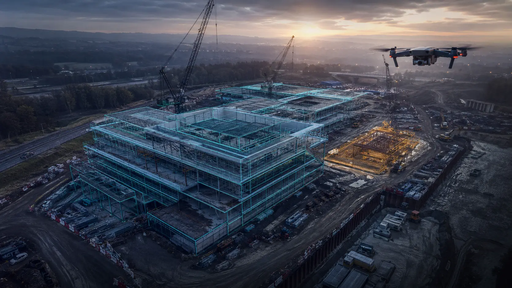
Aerial operation recording a UK site
OPERATIONAL EVIDENCE / 02

Real work.
Clearly evidenced.

A growing record of completed operations, delivery methods and practical use cases—without invented testimonials or disguised marketing scenarios.

Planned South Wales aerial media operation
PUBLISHED OPERATION / AUGUST 2026

South Wales community event aerial coverage.

An official aerial photography brief required useful promotional imagery while accounting for the realities of a public event. Airspace coordination and permission requirements were built into the plan alongside a segregated operating position, a controlled capture brief and a defined handover.

  • High-resolution aerial stills and short-form media
  • Planning for airspace, people and event-specific controls
  • Structured files prepared for future promotion

Client identity is withheld because permission to publish it has not been requested. We do not publish identifiable client work without consent.

HOW THE BRIEF BECAME AN OPERATION

Commercial outcome.
Operational control.

The value came from connecting the client’s media objective to a practical flight plan, suitable operating position, defined capture list and organised handover.

01

Define

Agree the promotional purpose, priority moments, intended channels and required formats.

02

Assess

Review airspace, the event environment, uninvolved people, take-off and landing, weather and permissions.

03

Control

Use a segregated operating position and capture plan appropriate to the live public setting.

04

Deliver

Quality-check, organise and hand over usable imagery for the agreed promotional purpose.

CAPABILITY EXAMPLES / NOT CLIENT CASE STUDIES

Where aerial intelligence
adds practical value.

These examples explain how the services can be used. They are deliberately labelled as capabilities and do not claim a client result that has not been evidenced.

PROPERTY / ROOF

Targeted condition visibility

Systematic overview and close-up imagery can help a property professional identify visible areas of concern and decide where qualified investigation or access should be directed next.

Explore the service
CONSTRUCTION / PROGRESS

Consistent project records

Repeatable, dated viewpoints create an accessible visual record of site change, milestones and context for project teams and stakeholders.

Explore the service
COMMERCIAL / PROPERTY

A clearer sense of place

Planned aerial perspectives show the building, land, access and surroundings together for listings, portfolios and stakeholder communication.

Explore the service
INFRASTRUCTURE / ASSET

Evidence before specialist access

Targeted high-resolution capture can help the client’s competent professional focus subsequent inspection, maintenance or specialist-access decisions.

Explore the service
START AN OPERATION

Build the next evidence record

Tell us what needs to be seen, where it is and who will use the result. We will define a controlled capture and decision-ready output.