
INFRASTRUCTURE
A clearer view of your assets.
Targeted visual evidence for structures, utilities and assets that are difficult to access.
Explore the capability DRONE PERSPECTIVE LTDAERIAL INTELLIGENCE. CLEAR DECISIONS.Request a Quote
You define the outcome. We manage the capability.
Professional aerial operations, data capture, processing and evidence for construction, infrastructure and commercial projects. One partner to plan the work, manage the delivery and hand over the information you need.
Aerial Intelligence. Clear Decisions.

Your team needs usable inspection data, project visibility and evidence for decisions. Delivering that takes more than an aircraft.
We lead the aerial operation: scoping, planning, pilot resourcing, equipment selection, site mobilisation, capture, processing, quality review and reporting. We use our own capability where suitable and integrate specialist sensors and expertise when the brief requires them.
One commercial relationship. One managed delivery standard.
Why work with Drone PerspectiveThe output comes first. We choose the appropriate aerial approach around the asset, operating environment and decision your team needs to make.
Targeted visual evidence for structures, utilities and assets that are difficult to access.
Explore the capability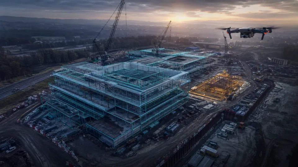
Repeatable aerial records, milestone imagery and organised project progress packs.
Explore the capability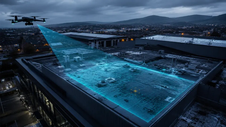
Roof, elevation and property context to support condition review and maintenance planning.
Explore the capability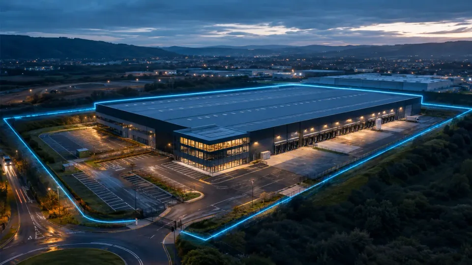
Buildings, land, access and surroundings presented clearly for stakeholders and portfolios.
Explore the capabilityMapping, models and comparative datasets can add another layer of context. RTK, thermal, LiDAR and specialist survey requirements are scoped with the appropriate equipment, expertise and validation for the intended use.

These supplied visuals illustrate the difference between imagery and spatial data. They are not published client datasets. Measurement accuracy and suitable outputs are agreed with the project method.
Scope a specialist requirementWe work backwards from the intended use. Capture requirements, operational controls and output standards are established before deployment.
Agree the question, asset, intended use and required deliverable.
Select the people, aircraft, sensors, operating method and controls.
Deliver the operation and turn the captured data into useful project information.
Review against the brief, organise the output and retain the operational evidence.
Systematic overviews and targeted close-ups matched to the asset question.
Referenced image plates and clear visual markers for focused review.
Dated, repeatable viewpoints and comparisons for project teams.
Agreed formats, organised files and practical evidence packs.
Our quotation reflects the agreed scope, mobilisation, operational complexity, processing, quality assurance, reporting and specialist capability required to deliver the outcome.
From the first operating plan to the final report, our focus is useful information that your team can review, share and act on.
View our capability statementStart with a defined assignment and scale as value is demonstrated. We agree the scope, frequency and outputs around your organisation’s needs.
A specific requirement, a defined deliverable.
Scheduled inspection or progress evidence.
Consistent output standards across locations.
An ongoing function across project requirements.
Aircraft ownership, pilot resourcing, training, software, procedures, processing and operational oversight create an ongoing management commitment. Our model brings those elements together around the work your project requires.
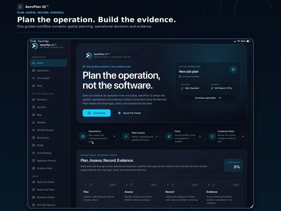
 AeroPlan IQ™BY DRONE PERSPECTIVE
A connected workflow for drone planning, site assessment, operational records and evidence. Built by Drone Perspective and available now on Apple and Android.


Founded by Toby Rhodes-Matthews, Drone Perspective brings experience in defence, complex logistics and infrastructure planning to aerial delivery.
Meet our operating approachAirspace, permissions, access, people, weather and site hazards are considered before deployment.
Clear scope and output boundaries support review by the client’s engineer, surveyor or competent professional.
Quality review, agreed formats and an organised handover keep the output useful.
Tell us what you need to inspect, understand, record or demonstrate. We will scope a practical aerial approach and a clear deliverable.