Who this supports
- Commercial agents and property consultants
- Developers and landowners
- Portfolio and asset managers
- Industrial, retail and office operators
- Holiday-let and hospitality businesses
 DRONE PERSPECTIVE LTDAERIAL INTELLIGENCE SYSTEMSStart a project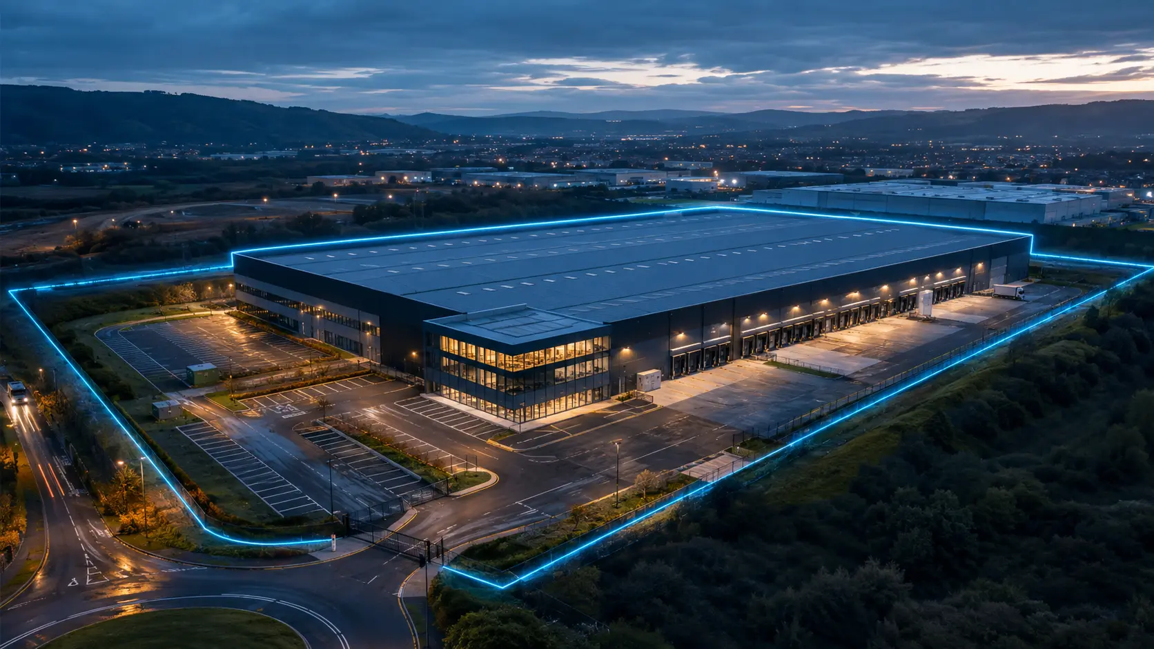
Professional aerial property and site imagery that helps agents, owners and decision-makers understand the building, land, access and surrounding context in one clear view.
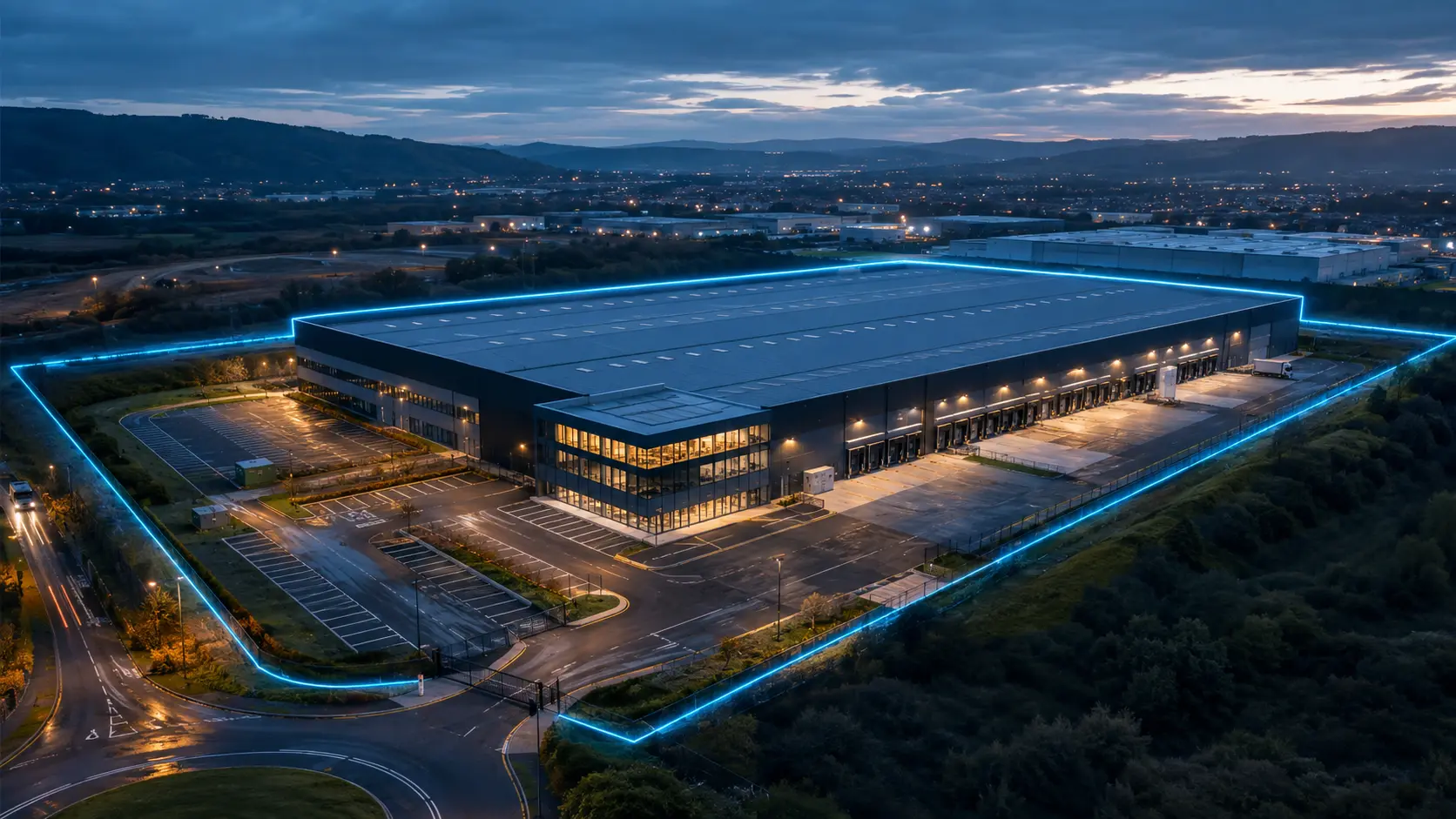
Ground photography rarely explains how a commercial property relates to its access, parking, surrounding development, landscape or wider location. A planned aerial view can communicate those relationships quickly and support a more complete understanding of the asset.
We create a deliberate shot list around the audience and purpose of the material—whether the requirement is disposal, letting, investment, development context, portfolio reporting or stakeholder communication.
View all servicesProfessional delivery is a chain. Each stage protects the quality, traceability and usefulness of the final evidence.
We agree the asset, location, decision required and the exact outputs you need.
We review airspace, permissions, people, property, weather, access and site-specific risk.
AeroPlan IQ structures the operational checks, evidence and Remote Pilot decision trail.
The flight follows a controlled shot plan, with repeatable viewpoints where comparison matters.
Imagery is reviewed, organised and checked against the agreed brief before release.
You receive clearly named, decision-ready files and reporting, normally within 24 hours where operationally possible.
Commercial property imaging communicates visible appearance and site context. It does not establish legal boundaries, measured areas, planning status, valuation or survey condition. Any mapping, measurement or certified survey requirement must be separately scoped using an appropriate validated workflow.
Yes. The scope can include edited high-resolution stills, short clips and channel-specific formats. We agree the exact deliverables before the operation.
Wider context may be captured where it is lawful, proportionate and relevant, but the operation and final editing will consider privacy, permissions and the client’s intended use.
Yes. Portfolio or multi-site work can be planned around a consistent brief and output standard, subject to location, travel and operational assessment.
Standard edited outputs are normally available within 24 hours where operationally possible. Larger portfolios or more involved editing are scheduled in the quotation.
Tell us the location, asset and decision you need to make. We will respond with a practical route forward and a clear quotation.