Who this supports
- Infrastructure owners and operators
- Utilities and facilities-management teams
- Engineers and inspection professionals
- Principal contractors and maintenance providers
- Commercial and public-sector asset teams
 DRONE PERSPECTIVE LTDAERIAL INTELLIGENCE SYSTEMSStart a project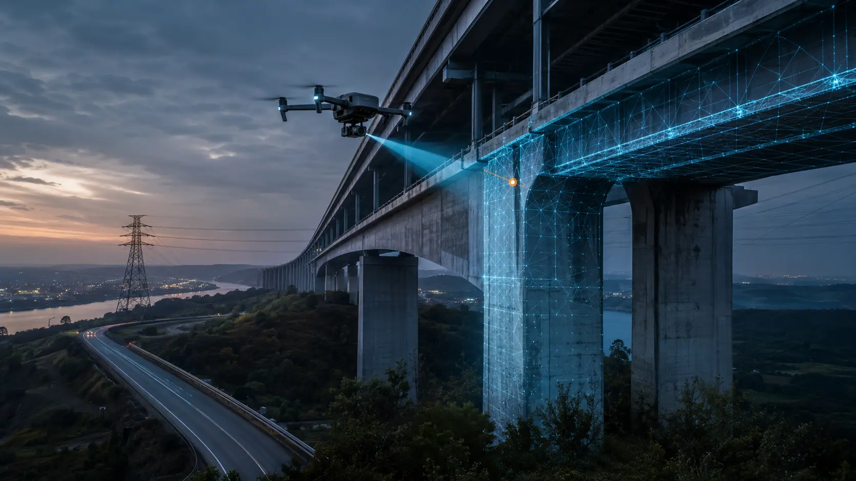
Structured high-resolution visual evidence for infrastructure, utilities and hard-to-access assets—planned around the asset question and the professional who will interpret the result.
Structures and operational assets can contain areas that are difficult, disruptive or costly to view from the ground. Drone inspection can provide an efficient first layer of evidence, helping asset teams and appointed specialists understand where closer access or further investigation may be required.
Our role is to capture the right visual evidence safely and consistently. We agree the asset references, viewpoints, coverage and file structure with the client before deployment, avoiding indiscriminate capture that creates volume without clarity.
View all servicesProfessional delivery is a chain. Each stage protects the quality, traceability and usefulness of the final evidence.
We agree the asset, location, decision required and the exact outputs you need.
We review airspace, permissions, people, property, weather, access and site-specific risk.
AeroPlan IQ structures the operational checks, evidence and Remote Pilot decision trail.
The flight follows a controlled shot plan, with repeatable viewpoints where comparison matters.
Imagery is reviewed, organised and checked against the agreed brief before release.
You receive clearly named, decision-ready files and reporting, normally within 24 hours where operationally possible.
Drone Perspective provides visual data capture and inspection support. We do not certify structural integrity, diagnose engineering defects or replace statutory and specialist inspections. Findings and engineering conclusions must be made by the client’s appropriately qualified competent person. Thermal, LiDAR and certified measured-survey outputs are not included unless separately specified with suitable equipment and validation controls.
Potentially, yes. Feasibility depends on the asset, airspace, site permissions, line of sight, people, operational hazards and the viewpoints required. We assess these before confirming the method.
We can capture and organise visible evidence, but structural diagnosis and certification remain with an appropriately qualified engineer or asset specialist.
Yes. References, asset IDs, requested viewpoints and file naming can be agreed in advance so the output aligns with the client’s review process.
For commercial operations we can provide the relevant planning and assurance documentation, including risk controls and evidence of £5 million public liability insurance, as required by the client.
Tell us the location, asset and decision you need to make. We will respond with a practical route forward and a clear quotation.